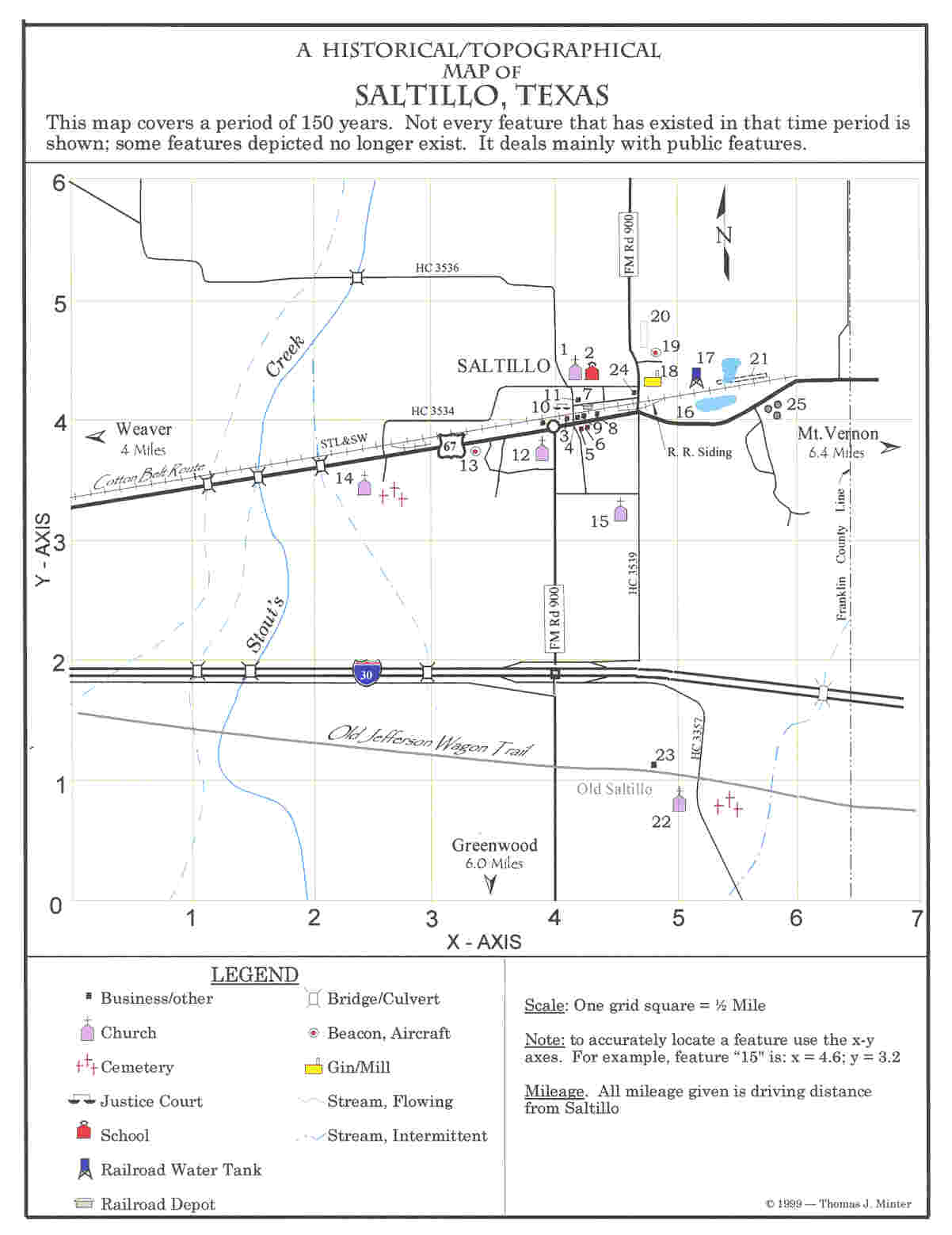
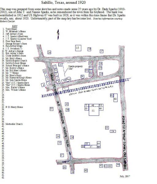
KEY TO MAP
1. Baptist Church
2. School. In operation by 1905
3. Gas station/store
4. Drugstore & post office. A fire station now sits on location
5. Barber shop
6. Grocery store
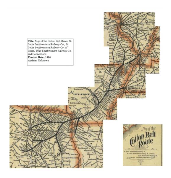
7. Railroad depot of the St. Louis & Southwestern Railway.(also known as the "Cotton Belt Route") The railroad was built in 1887. The depot was moved onto private property in
8. Gas station
9. Grocery store
10. Justice of the Peace courthouse
11. Masonic lodge?
12. Church of Christ
13. Rotation beacon for aircraft guidance
14. Stout's Creek Baptist Church & cemetery
15. Methodist Church
16. Railroad pond. Supply for tank where steam locomotives took on water (17)
17. Water tank. Provided water for steam locomotives
18. Cotton gin
19. Rotating beacon for airfield (20)
20. Airfield. Actually just a large pasture. May have been designated as an emergency field by
the Civil Aeronautics Administration (CAA)
21. Platform w/piping system. Used by railroad for filling tank cars with oil. See tanks at (25)
22. Old Saltillo United Methodist Church & cemetery. Located near where town use to be, which was called "Twin Groceries" back then. Teamsters hauling goods by wagon to the west over the Jefferson Wagon Trail liked to stop here and camp overnight
23. Green Crowder store (1850)
24. "Pea" shed. A covered loading dock used by the railroad
25. Oil storage tanks. The Gulf Oil Company built a pipeline through here in 1909
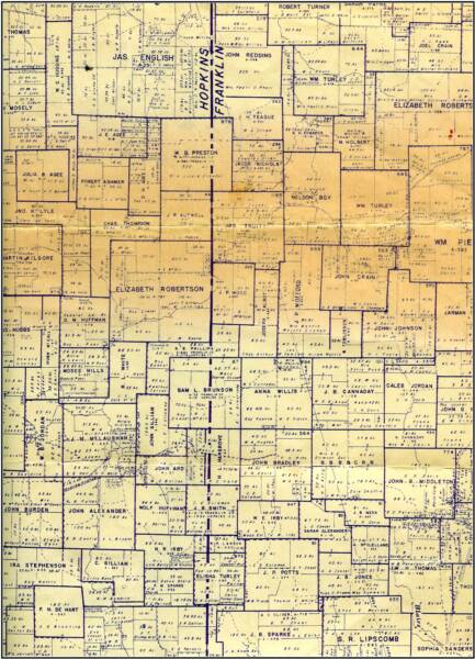
The above map shows original boundaries of properties south of Saltillo. It also shows property owners in the 1940s. Roy Cowser, a notary public, used this map in the 1960s in connection with negioations between property owners and oil companies as to drilling rights, Map Courtesy Robert Cowser.
